
MAPS OF PLONSK
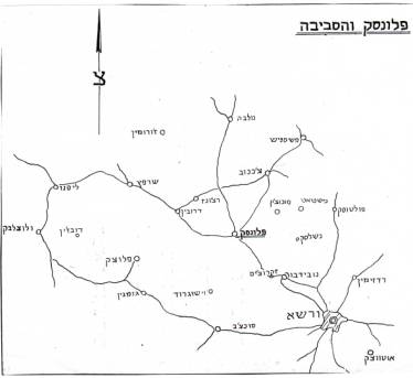
It was 60 Km NW from Warszawa; 27 miles E from Plock and 20 miles SSW of Chiechanow. Map from Sefer Plonsk. PLONSK was a Shtetl and now a town.
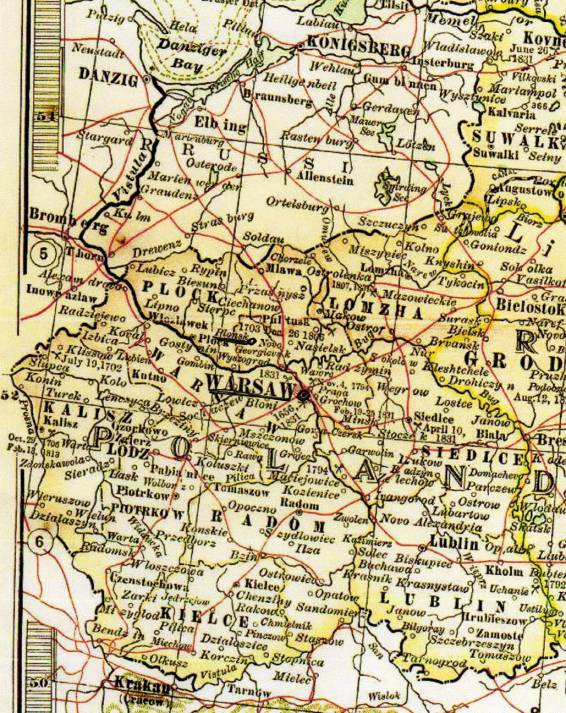
Map from Poland where we can see the Capital Warsaw, Plock and PLONSK.
|
|
MAPS OF PLONSK
|
|
It was 60 Km NW from Warszawa; 27 miles E from Plock and 20 miles SSW of Chiechanow. Map from Sefer Plonsk. PLONSK was a Shtetl and now a town. |
|
|
|
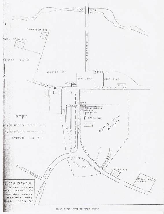
| Map of the Plonsk Ghetto from Sefer Plonsk. | |
|
|
| PLONSK was a Shtetl , from Province of Warszawa (Warsaw) and Gubernia Plock.Today it is a town because have more inhabitants. Map from Poland where we can see the Capital Warsaw, Plock and PLONSK. |
|
|
|
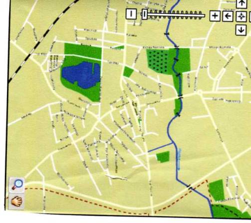
| Map of Plonsk with streets, rail
ways, station, and the River Plonka.
|
|
|
|
| © Copyright 2008-9 Ana Nutta | |