

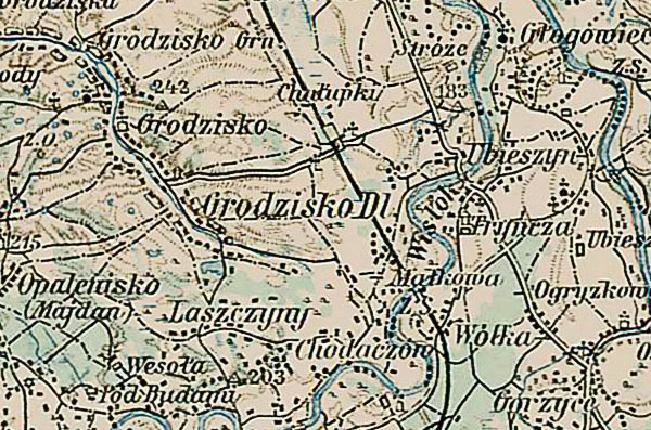
A section of the 3rd Military Mapping Survey of
Austria-Hungary showing Grodzisko Dolne.
Published c. 1910.
The scale: 1:200 000 is large enough to show detailed views of the smallest
village and even the rows of houses.
© Copyright 2017 Kolbuszowa Region Research Group. All rights reserved.
Back to Grodzisko Dolne Shtetl Home Page